Waymo and Waze Partner to Automate Pothole Detection for City Repairs
A new alliance between autonomous vehicle company Waymo and navigation app Waze aims to turn everyday driving data into a direct line for city road repairs. The companies have launched a pilot...
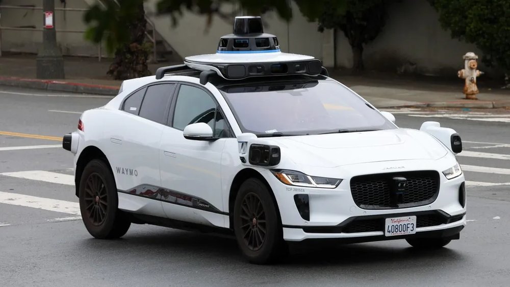
A new alliance between autonomous vehicle company Waymo and navigation app Waze aims to turn everyday driving data into a direct line for city road repairs. The companies have launched a pilot program that uses Waymo's sensor-laden robotaxis to automatically identify and map potholes, then shares those locations with municipal agencies via Waze's platform.
The initiative, starting in Austin, Atlanta, Los Angeles, Phoenix, and the San Francisco Bay Area, seeks to modernize how cities discover infrastructure problems. Currently, most reports come from resident calls or sporadic inspections. Waymo's fleet, equipped with cameras, lidar, and radar, provides a consistent, automated source of road condition data. In the Bay Area alone, the system has already cataloged over 500 potholes.
San Jose Mayor Matt Mahan noted the potential for technology to help identify issues more rapidly, allowing for a more efficient response. City and state transportation departments will access the information through the Waze for Cities dashboard.
For Waze users, the integration adds a layer of verification. The app traditionally relies on driver-submitted reports. Incorporating Waymo's objective sensor data is expected to improve the accuracy of hazard alerts within the app. As Waze's Andrew Stober explained, this pilot provides cities with a more complete visual representation of street conditions, supplementing the community reports that have long been the app's foundation.
Source: CNET
Ready to Modernize Your Business?
Get your AI automation roadmap in minutes, not months.
Analyze Your Workflows →